
Governor Ginny Gotlieb
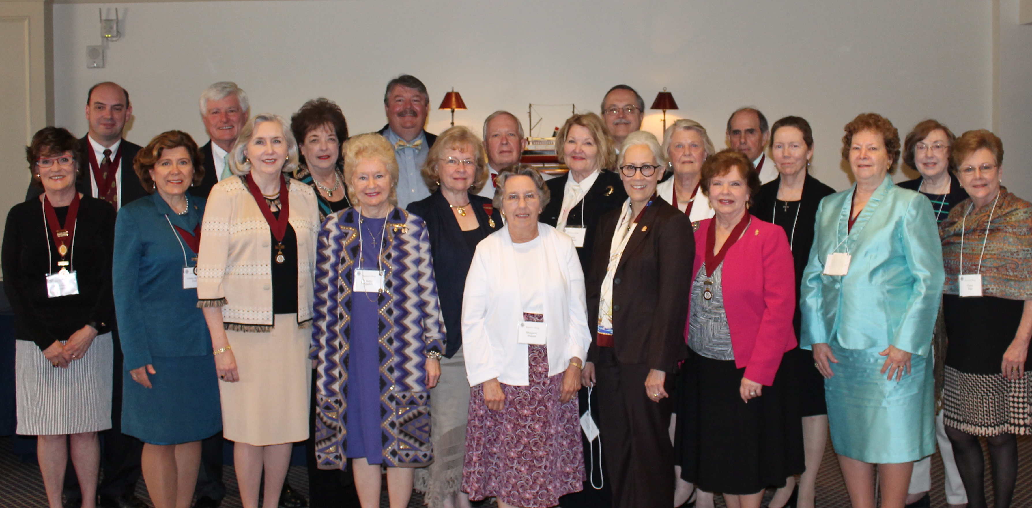
The Jamestowne Society’s annual Governors’ Roundtable and Council Meeting in Williamsburg May 16-17 had record attendance, a good program, and much conviviality (the program is summarized below.) Five new companies were chartered, confirming the vitality and dispersed growth of the Society.
The Governors met Friday to share activities of the companies and for an update of current Jamestowne news. Dr. Bill Kelso and his staff reviewed with the Governors the status of the church tower restoration, the archeological excavations, and new insights from the curators. We toured the Jamestowne site, the Archaerium, and the curatorial building. It was fascinating! I recommend two links from recent Historic Jamestown postings in Jamestown Rediscovery’s use of new technologies that help us better understand life at the settlement. One shows the amazing 3-D reproduction of a 17th century sundial. The other provides highlights of the new World of Pocahontas Unearthed exhibit, which just opened June 6.
2014 Jamestowne Society Governors Roundtable
I will be reporting on this meeting to our First California Company membership at our FCC Annual Meeting on June 28. Please see our website’s News page for reservation information. We will also be electing new officers. I hope that you can attend!
The Society’s Spring Meeting on Saturday presented William Woolridge’s program, When All America Was Virginia, illustrated with slides of very early maps, is an example of the richness of experiences that comes with our Jamestowne Society membership.
The first use of “Virginia” was on a map published by Richard Hakluyt in 1587 and referred to the Lost Colony with the notation “Virginia 1584”. Hakluyt was a great promoter of English colonization and his map show both Spanish and French holdings with much unclaimed land in between. He played a critical role in getting King James I to grant the Virginia Company a royal charter in 1606.
Theodor de Bry printed a map of “the part of America now called Virginia” in 1590, based on reports from John White, Virginia Dare’s grandfather. A 1602 map is based on Captain Bartholomew Gosnold’s exploration of “the northern parts of Virginia”. Gosnold named that area “Cape Cod.” A few years later, he was the chief promoter of a petition to James I for letters patent to colonize Virginia, which were granted to the London Company and Plymouth Company (referred to collectively as the Virginia Company) in 1606. Early maps make clear that “Virginia” was not defined as a geographic of political boundary, but was an amorphous expanse representing aspirations more than knowledge.
Captain John Smith’s detailed map of the Chesapeake region published in 1612 begins to make those aspirations concrete. It is, in essence, a map of Chief Powhatan’s territory.
As Virginia became a specific area, we see her contours change from a colony that extended to the Great Lakes, the Mississippi, and beyond to one that takes its present shape after the Civil War. Mr. Woolridge’s book, Mapping Virginia: From the Age of Exploration to the Civil War, includes these maps and many more and deconstructs the stories they tell.
Pingback: We Celebrate Our 15th Anniversary and Receive A Report on the Society’s Meetings | First California Company, Jamestowne Society